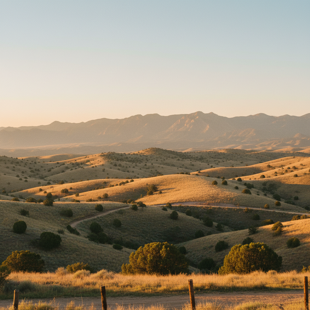
A high-desert state park south of Santa Fe, preserving over a thousand years of Indigenous, Spanish, and American mining history along five miles of scenic trails.
Cerrillos Hills State Park protects a high-desert landscape of rolling, piñon-and-juniper-studded hills sixteen miles south of Santa Fe. Established in 2009 on 1,116 acres of land originally preserved by Santa Fe County and the Cerrillos Hills Park Coalition, this day-use park sits at elevations ranging from 5,800 to 6,100 feet. The park is accessed just north of the historic village of Los Cerrillos off the Turquoise Trail National Scenic Byway, also known as State Highway 14. Its quiet, dry air is punctuated by the calls of scrub jays and the rustle of desert shrubs, offering a starkly different experience from the high-alpine forests of the nearby Sangre de Cristo Mountains. Visitors begin their journey either at the main trailhead parking lot on County Road 59 or at the park's visitor center, located at 37 Main Street in the village, which features historical exhibits and is open on weekends.
The park's terrain is defined by over a thousand years of human excavation, making it as much an archaeological site as a natural preserve. Ancestral Pueblo people, particularly from the nearby San Marcos Pueblo, began mining the hills for turquoise and lead around 900 AD. The blue-green stone was traded across North America, while galena (lead ore) was ground down to create decorative glazes for pottery. In 1581, Spanish explorers arrived in the hills, then called the Sierra de San Mateo, searching for silver and lead. Centuries later, the American mining boom of 1879 transformed the area into the bustling Cerrillos Mining District, honeycombing the hills with more than a thousand vertical shafts. While the famous Mina del Tiro, one of the oldest galena mines in North America, sits on private land just outside the park boundary, several historic mine sites, including the Cortez Mine, are preserved within the park's borders. These deep shafts are today safeguarded with heavy steel grates, allowing visitors to peer safely into the dark voids where miners once labored with picks and shovels.
Exploring the park is done via a five-mile network of interconnected, multi-use trails designed for hikers, mountain bikers, and horseback riders. The Jane Calvin Sanchez Trail offers a gentle introduction to the landscape, looping through sandy arroyos and past weathered mining ruins. For broader perspectives, the Escalante and Mirador trails climb the low ridges to reveal expansive views of the surrounding country. From these high points, the Ortiz Mountains rise to the south, the Sandia and Jemez ranges frame the western horizon, and the Sangre de Cristos dominate the northeast. Along the paths, interpretive plaques written by local historians explain the geology and human stories behind the rusted machinery and stone foundations left behind by 19th-century prospectors. The park remains a sanctuary for quiet contemplation, where the physical remnants of human ambition are slowly being reclaimed by the desert clay, wild wildflowers, and hardy yuccas.
There is no drinking water available inside the park, and the high-desert trails offer almost no shade. Bring a full gallon of water per person, wear a wide-brimmed hat, and stop by the weekend-only visitor center in the village of Los Cerrillos to borrow a shade parasol before heading up County Road 59 to the trailhead.