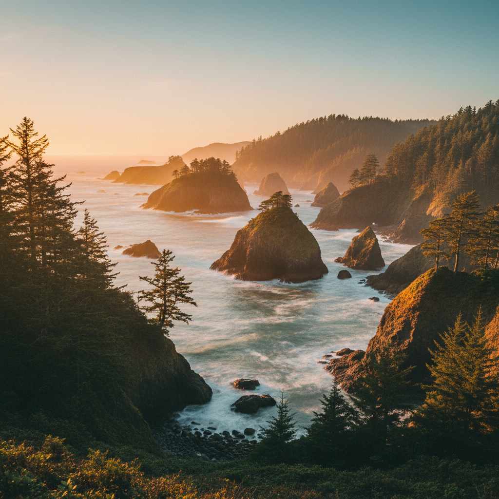
A 12-mile stretch of rugged southern Oregon coastline defined by forested headlands, natural stone arches, and dramatic offshore sea stacks.
Samuel H. Boardman State Scenic Corridor spans 12 ocean-hugging miles of the southern Oregon coast, a rugged ribbon of land between Brookings and Gold Beach. This linear park protects a dramatic landscape where steep sandstone and volcanic basalt cliffs drop directly into the Pacific Ocean, punctuated by more than 130 offshore sea stacks. Long before it became a state park, this coastline was the ancestral home of the Tututni and Tolowa Dee-ni' peoples, who relied on the marine resources and freshwater streams for thousands of years. Arch Rock, one of the corridor's northernmost landmarks, holds deep cultural significance for the Tolowa tribe: according to legend, Coyote was left to starve on the rock after playing a prank, but escaped by throwing a basket of mussels into the water, each one instantly growing into a stepping-stone island. Today, these same islands and sea stacks serve as nesting sites for seabirds and resting spots for harbor seals.
The corridor is named in honor of Samuel H. Boardman, Oregon's first State Parks superintendent, who served from 1929 to 1950 and is widely considered the father of the state's park system. Boardman spent decades orchestrating land acquisitions from private owners, the Bureau of Land Management, and even Borax Consolidated, Ltd., of London, to ensure this wild stretch of Highway 101 remained in public hands rather than being subdivided for private development. Geologically, the park is a dramatic showcase of tectonic uplift along the Cascadia Subduction Zone. The relentless forces of wind and waves constantly erode the fractures in the basalt and sandstone, carving out sea caves, blowholes, and the natural arches that define the park. Clinging to these unstable cliffs are dense forests of Western hemlock and massive Sitka spruce, some of which are more than 300 years old, their branches sculpted by the salt-laden winds.
To experience the corridor requires leaving the pavement and exploring the 18 miles of the Oregon Coast Trail that wind through the park. At Cape Ferrelo, a one-mile loop trail winds up a grassy, wildflower-carpeted headland that serves as an exceptional vantage point for spotting migrating gray whales in spring and winter. Further north, the Indian Sands loop leads hikers through a surprising landscape of windswept, perched sandstone dunes and sculpted rock formations high above the churning surf. The Natural Bridges viewpoint offers a look at the park's most iconic geological features, where forested rock arches span the surging ocean. Down at Secret Beach, reached via a steep, half-mile trail, visitors can explore secluded tide pools and sea caves that are only accessible when the tide recedes, while Whaleshead Beach provides a wide, sandy cove named for a massive offshore sea stack that resembles a whale spouting water.
Check tide charts before descending to Secret Beach, as the pocket cove is only safely accessible at low tide. For a unique geological detour, stop at the Indian Sands trailhead to see the perched sandstone dunes, and always stay on designated paths to avoid the fragile, crumbling cliff edges.