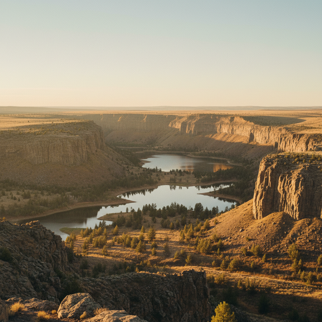
An expansive desert park in Washington's Channeled Scablands, featuring a massive four-hundred-foot dry cliff carved by Ice Age floods and a chain of deep, spring-fed lakes.
Sun Lakes-Dry Falls State Park encompasses over 4,000 acres of dramatic basalt coulees, deep plunge-pool lakes, and arid shrub-steppe in the heart of Washington's Channeled Scablands. The centerpiece of the park is Dry Falls, a massive, dormant cliff measuring 400 feet high and three and a half miles wide. During the Pleistocene Epoch, cataclysmic Missoula Floods repeatedly tore through this region, sending torrents of water at speeds of up to 65 miles per hour across the landscape. At its peak, this ancient waterfall was four times the size of Niagara, with untold volumes of water plunging over the basalt lip, carving out deep basins that are now filled by a chain of groundwater-fed lakes. Geologist J Harlen Bretz famously documented these scars, though his theories of a catastrophic flood were highly controversial until decades later when fellow geologist Joseph Pardee identified the massive source of the water in Glacial Lake Missoula. Today, the stark black walls of the coulee stand in silent testimony to this immense geological violence.
Human history in the canyon stretches back thousands of years, as the traditional territories of the Sahaptian and Inland Salish peoples, including the Confederated Tribes of the Colville Reservation, converge in these coulees. In the modern era, the park's development began in earnest in the late 1920s and 1930s. The historic, octagonal stone Vista House was built in 1928 at the Dry Falls viewpoint, followed by mortared rock walls, a ranger residence, and a pump house constructed by the Civilian Conservation Corps in 1938. Perched nearby is the Dry Falls Visitor Center, a striking mid-century modern building designed by Spokane architect Kenneth W. Brooks in 1965. Built in the New Formalism style, the center features a glass curtain wall that frames the vast canyon floor. The visitor center, along with its parking lot and immediate overlook, is undergoing a major 2.3-million-dollar renovation to upgrade accessibility, restore the historic rock walls, and refresh the infrastructure, with a scheduled reopening in late 2026. During this construction period, a mobile visitor center operating three miles south at the main park day-use area provides interpretive services.
Below the dry rim, the park transitions into a vibrant oasis offering extensive opportunities for recreation, hiking, and water sports. The lower coulee contains a series of lakes including Park, Deep, Perch, and Dry Falls Lake. Park Lake is a popular hub for boating and swimming, while the more remote Deep Lake is favored by kayakers and paddleboarders. Anglers frequent Dry Falls Lake, which is managed as a selective-gear trout fishery. Hikers can explore several trails winding through the sagebrush, such as the moderate 5.7-mile loop around Umatilla Rock, a massive basalt formation that stood as an island in the middle of the ancient floods. Overnight visitors can choose from over 150 campsites, utility hookups, and rustic cabins, or book group facilities at Camp Delany, a retreat center established in the 1950s. The park also features a nine-hole golf course and miniature golf, initially championed by former Washington Lieutenant Governor Victor Aloysius Meyers in the 1940s as part of his vision to turn the area into a premier desert destination.
Check the status of the Dry Falls Visitor Center before visiting, as the main building is closed for a major renovation through late 2026, though a mobile interpretive center remains active three miles south in the main day-use area. For hiking, tackle the loop around Umatilla Rock in the early morning to beat the desert heat and see the basalt formations in optimal light.