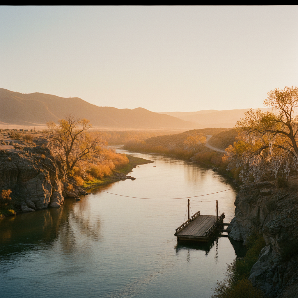
Cooper's Ferry, known to the Nimiipuu (Nez Perce) as the ancient village of Nipéhe, is an archaeological site along the lower Salmon River that has fundamentally reshaped our understanding of the first humans in North America. Located about 11 miles south of Cottonwood, Idaho, this Bureau of Land Management site contains evidence of human occupation dating back 16,000 years.
Cooper's Ferry sits on an alluvial terrace about ten meters above the confluence of Rock Creek and the lower Salmon River, roughly 11 miles south of the town of Cottonwood, Idaho. Long before it served as a late-19th-century ferry crossing, this exact spot was a bustling settlement known to the Nimiipuu (Nez Perce) as the village of Nipéhe. Archaeological excavations here have unearthed a record of human occupation dating back approximately 16,000 years. This remarkable timeline places human presence at Cooper's Ferry several millennia before the Clovis culture, which was long believed to represent the continent's earliest inhabitants. The site is managed by the Bureau of Land Management (BLM) and is recognized as one of the most significant and thoroughly documented pre-Clovis archaeological sites in North America.
The scientific significance of the site began to emerge during early excavations led by B. Robert Butler in 1961, 1962, and 1964. Decades later, in 1997, Oregon State University archaeologist Dr. Loren G. Davis conducted test excavations that revealed a cache of Western Stemmed Tradition projectile points. This discovery launched a major, decade-long partnership between Oregon State University and the BLM. From 2009 to 2018, Dr. Davis directed a summer archaeological field school at Cooper's Ferry, bringing students to meticulously excavate two primary areas. Researchers uncovered fire hearths, storage pits, and animal remains, including the bones of extinct Pleistocene horses. Crucially, they found beautifully crafted, stemmed projectile points that are technologically distinct from Clovis points. Because these artifacts were found in deeply buried layers of loess beneath a geological layer known as the Rock Creek Soil, radiocarbon dating was able to firmly establish their extreme age.
The findings at Cooper's Ferry have sparked a profound shift in how researchers map the peopling of the Americas. Because continental glaciers blocked any inland ice-free corridor 16,000 years ago, the presence of early humans along the Salmon River strongly supports the theory of a Pacific coastal migration route. Early travelers likely paddled or walked down the Pacific Rim, using the Columbia River basin as an inland off-ramp that led them directly to the Salmon River canyon. Although the active excavation pits were carefully backfilled for preservation at the conclusion of the 2018 field season, Cooper's Ferry remains open to the public as an interpretive site. Located near the mouth of Graves Creek, visitors can stand on the terrace, read the informative BLM markers, and look out over the same river bend that has sustained human life for 160 centuries.
To reach the site, drive south from Cottonwood on Graves Creek Road down into the Salmon River canyon. While there are no active digs to see today since the pits were backfilled in 2018, you can read the BLM interpretive panels at the site and then visit the Historical Museum at St. Gertrude's in Cottonwood, which houses an exhibit dedicated to the Cooper's Ferry excavations.