They say Jacob Waltz found a gold vein in these mountains and died without revealing its location.
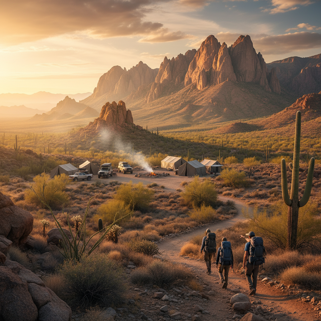
Lost Dutchman State Park covers 320 acres at the western base of the Superstition Mountains, where a sheer, 2,000-foot wall of volcanic rock erupts directly from the Sonoran Desert floor. Located along the historic Apache Trail (State Route 88) just north of Apache Junction, this state-managed sanctuary provides a stark transition between the expanding Phoenix metro area and the rugged wilderness beyond. The face of the escarpment is a raw display of geologic history, shaped by the collapse of a massive volcanic caldera some 20 million years ago. Today, the resulting fortress of hardened volcanic tuff, jagged spires, and deep-shadowed canyons catches the shifting desert light, transforming from a pale tan in the morning to deep shades of ochre and crimson as the sun sets. Giant saguaros, cholla, and palo verde trees stand guard along the foothills, framing a landscape that feels ancient and unyielding.
The park's name and lore trace back to the late 19th century and the legend of Jacob Waltz, a German immigrant (often misidentified as "Dutchman" due to a corruption of *Deutsch*) who allegedly discovered an incredibly rich gold vein within these canyons. Waltz died in 1891 without revealing the location of his mine, sparking a century-long rush of prospectors, treasure hunters, and adventurers into the treacherous canyons, some of whom never returned. Long before the gold rush, however, these lands were part of the ancestral territory of the Apache people, who consider the Superstition Mountains a sacred place of powerful spirits. The Bureau of Land Management first developed the area as a day-use site in 1972, and after a series of legislative efforts, it officially opened as an Arizona State Park in 1977, dedicated to preserving both the natural desert habitat and the human history etched into its stone.
Exploring the park requires getting onto the well-maintained trail system that connects directly to the surrounding Tonto National Forest and the Superstition Wilderness. For a moderate introduction, the 2.4-mile Treasure Loop Trail winds through the foothills, offering hikers sweeping views of the Salt River Valley and the distant Phoenix skyline. Those seeking a strenuous challenge head for the Siphon Draw Trail, a rugged, four-mile round-trip route that climbs 1,000 feet through a slickrock canyon to a scenic basin. From there, the trail continues as an unmaintained, near-vertical scramble up to the Flatiron, a massive rock formation perched at nearly 5,000 feet that rewards hikers with panoramic views of the desert expanse. Along the way, the air is thick with the scent of dry creosote and desert sage, occasionally punctuated by the sharp call of a cactus wren or the rustle of a Gambel's quail.
Overnight visitors can choose from 135 campsites arranged along paved loops, 68 of which feature water and electrical hookups (50/30/20 amp) suitable for RVs of any size. For a more comfortable stay, the park features five climate-controlled camping cabins equipped with electricity, heating, air conditioning, and covered front porches that look directly out at the towering mountain face. There are also three hike-in or bike-in sites for those seeking quiet seclusion, alongside modern bathhouses and a visitor center stocked with maps, books, and regional exhibits. As night falls, the desert cools rapidly, and the yips of distant coyotes echo off the canyon walls while the stars emerge in a sky that remains remarkably clear, despite the distant glow of the city lights on the western horizon.
Arrive just before sunrise to secure parking at the Siphon Draw trailhead before the crowds and the midday desert heat set in. This is the optimal time to watch the first light hit the sheer volcanic cliffs of the Superstitions, turning the rock face a brilliant, glowing orange.