Waves carve a sharp edge on Santa Barbara Island, a stark volcanic mesa where the only crowds you will encounter are nesting gulls and barking sea lions.
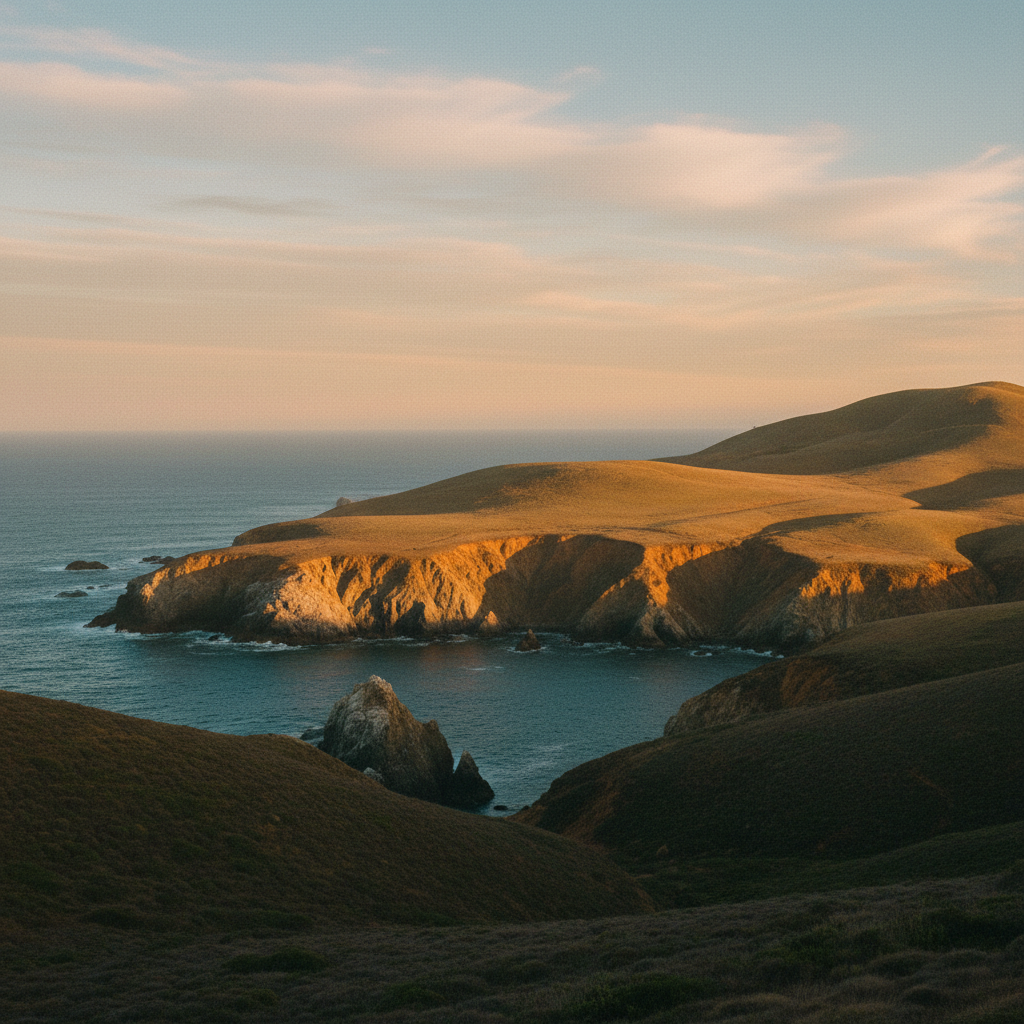
Santa Barbara Island, known to the Tongva as *'Ichunash*, rises like a sheer volcanic fortress from the open Pacific, roughly 38 miles off the coast of the Palos Verdes Peninsula. Spanning only one square mile (639 acres), this smallest and most isolated island in Channel Islands National Park is a windswept mesa defined by basalt cliffs that plummet into turbulent, kelp-rich waters. The island is not an active volcano, but rather a Miocene-era volcanic outcrop shaped by at least six distinct marine terraces, indicating a long history of tectonic uplift. Approaching the island, the immediate sensation is one of raw, acoustic chaos: the piercing cries of thousands of nesting western gulls mingling with the deep, guttural barking of California sea lions hauled out on the wave-cut ledges below. There are no trees on this windswept plateau, only dense grasslands and forests of giant coreopsis (*Coreopsis gigantea*) that erupt in brilliant yellow sunflowers during the spring, casting a golden hue over the stark, salt-crusted landscape.
The human history of this isolated outpost is defined by brief, hard-scrabble attempts to tame a landscape with no natural source of fresh water. Archaeologists have documented seasonal camps dating back 4,000 years, suggesting that both Tongva and Chumash mariners navigated to *'Ichunash* in their plank canoes, or *tomols*, to harvest shellfish and hunt seals. In 1602, Spanish explorer Sebastián Vizcaíno sighted the island on the feast day of Saint Barbara, giving the land its modern name. By the late 19th century, squatters like H. Bay Webster had built rough cabins on the western cliffs near Webster Point to hunt seals and fish for lobsters. The most enduring attempt at settlement came in 1916, when Alvin Hyder, his wife Annie, and their children Nora and Buster arrived on the island to establish a sheep ranch. To haul their supplies up the steep, 200-foot cliffs from the Landing Cove, the Hyders constructed a wooden sled track on wood rails, using a horse named Dan to pull heavy loads up the volcanic rock. The family struggled against the relentless wind and lack of water, eventually abandoning the ranch in 1922, leaving the island to slowly reclaim its wild state.
Today, the island serves as a critical biological sanctuary, free from the non-native cats and rabbits that once devastated its fragile ecosystem. It remains one of the most important nesting sites in the world for the rare Scripps's murrelet, a small seabird that lays its eggs in the steep, predator-free crevices of the cliffs. Hikers who navigate the five miles of trails will find a landscape of quiet drama, leading to overlooks like Signal Peak (the island's highest point at 634 feet) and Elephant Seal Point, where massive northern elephant seals haul out on the cobblestone beaches below. Offshore, the protected waters of the Santa Barbara Island State Marine Reserve harbor giant kelp forests that sway in the cold, clear currents, attracting harbor seals, sea lions, and adventurous divers. Two prominent offshore rocks, the 12-acre Sutil Island to the southwest and the single-acre Shag Rock to the north, provide additional nesting territory for seabirds. Due to severe winter storm damage, the landing dock is closed, and visitors must arrange private charters to access the island, navigating a challenging wet-landing onto the rocky ledge adjacent to the dock.
With the landing dock out of commission indefinitely due to storm damage, reaching the island requires a private boat and a wet-landing onto a slippery rocky ledge. If you make it ashore, hike to Elephant Seal Point in the winter months to watch massive bull elephant seals battle for territory on the cobblestone beaches below.