One of the deepest canyons in North America, Kings Canyon is Sequoia's wilder neighbor and the rugged, glacier-carved heart of the High Sierra.
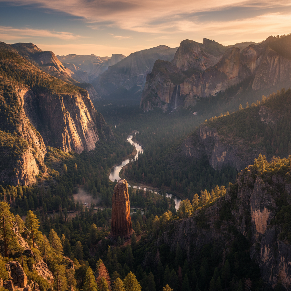
Kings Canyon National Park encompasses a dramatic, glacier-carved rift in the southern Sierra Nevada, where towering granite walls rise more than a mile above the rushing waters of the Kings River. This rugged landscape, jointly administered with neighboring Sequoia National Park, is a place of immense scale and deep geological history. Long before it was designated a national park in 1940, these valleys and ridges were the ancestral homelands of the Monache, Yokuts, Tübatulabal, Paiute, and Western Shoshone peoples, who navigated the high passes for trade and seasonal harvesting. The modern park preserves both the massive giant sequoias of Grant Grove, which originally gained protection as General Grant National Park in 1890, and the vast, roadless wilderness of the High Sierra to the east. John Muir championed the canyon as a rival to Yosemite, and in the 1930s, photographer Ansel Adams used his imagery to lobby Congress against proposed hydroelectric dams that would have drowned the valley under reservoir waters. Today, the park remains remarkably wild, defined by its sheer vertical relief and the powerful waterways that continue to shape its stone.
The journey into the heart of the park follows the Kings Canyon Scenic Byway, a fifty-mile stretch of Highway 180 that descends thousands of feet from the high-elevation sequoia groves down to the canyon floor. Along this route, the air warms and the dense pine forests give way to exposed granite cliffs, chaparral, and the roaring South Fork of the Kings River. Unlike Yosemite, which is experienced from a wide valley floor, Kings Canyon offers a more intimate, immediate encounter with the elements. The river is a constant, thunderous companion, carving through a gorge that is deeper in places than the Grand Canyon. At the bottom of the descent lies Cedar Grove, a forested valley floor where visitors can find quiet campgrounds, the Cedar Grove Visitor Center, and trailheads that lead deep into the backcountry. The geology here is a testament to the dual forces of water and ice, where ancient rivers cut deep V-shaped trenches that were later scoured into dramatic U-shaped troughs by massive Pleistocene glaciers.
To fully experience the canyon, one must travel to the end of the pavement at Roads End, where the road terminates against a massive granite wall and the wilderness truly begins. From this point, hikers can set out on the Zumwalt Meadow trail, a loop that skirts a lush, green wetland framed by the sheer faces of Grand Sentinel and North Dome. Though seasonal flooding has altered the meadow over the years, it remains a striking contrast of soft green grass against stark, gray granite. Further up the canyon, the trail to Mist Falls offers a classic day hike, climbing through oak and pine forests to a point where the river cascades over a series of giant granite ledges, filling the air with a cool, refreshing spray. For those seeking even greater solitude, the trails from Roads End climb into the high alpine country, connecting with the John Muir Trail and the Pacific Crest Trail. It is a place where the scale of the earth is felt in every step, offering a quiet sanctuary where the roar of the river and the shadow of the peaks dominate the senses.
Drive the scenic byway past Cedar Grove to its absolute end at Roads End, and walk the short path to the base of Muir Rock. This flat-topped boulder jutting into the South Fork of the Kings River is the perfect spot to sit and watch the river, or brave a quick plunge into the cold water on a hot summer afternoon.